Pulau Timor di Nusa Tenggara Timur adalah sebuah pulau namun sekarang telah terbagi menjadi dua wilayah negara yakni antara negara merdeka Timor Leste dan Timor Indonesia yang termasuk dalam wilayah Provinsi Nusa Tenggara Timur di Indonesia. Luas Pulau Timor sekitar 30,777 km² (Sumber Wikipedia). Pulau ini berasal dari kata “timur” secara arafiah berarti timur yang mana pulau ini memang benar terletak di ujung timur rantai kepulauan Sunda Kecil. Edisi jalan-jalan kali ini, saya hendak mengajak semua pembaca menyusuri sebuah jalan dengan rute dari Fatuleu menuju Amfoang. Sudah terbangun jalan yang cukup baik namun ada beberapa ruas jalan mengalami kerusakan yang diakibatkan oleh tanah longsor.
Timor Island in East of Nusa Tenggara is an island but now divided into two regions of country that is between the independent state of East Timor and Timor Indonesia which included in the territory of East of Nusa Tenggara Province in Indonesia. The total area of Timor Island is about 30,777 km² (Source Wikipedia). The island derived from the word "Timor" which literally means east where the island indeed at the eastern end of the chain of Lesser Sunda islands. This edition of traveling, I would like to invite all readers to see along the road through a route from Fatuleu to Amfoang. It built a good road but there are some roads suffered on damage caused by landslides.
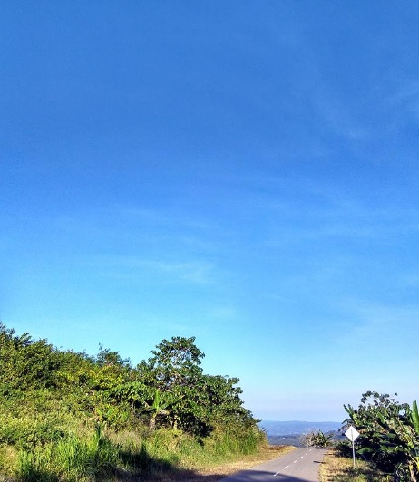 |
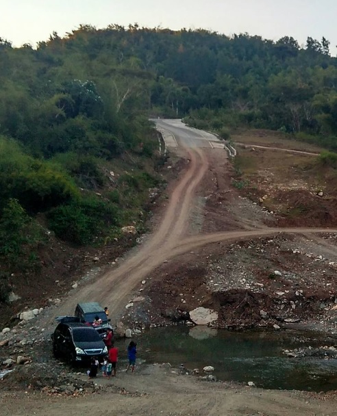
| Buntele to Kofi Road to Rocky Mountain of Fatuleu |
Amfoang Timur adalah daerah yang berbatasan langsung dengan Oekusi enclave negara Timor Leste. Jalur jalan lain seperti Takari Lelogama penuh sengsara dan derita, sulit bukan main dan oleh karena beratnya medan jalan yang berliku dan menantang itu maka sekarang jalan poros tengah telah terbangun. Warga lokal Pulau Timor pada saat weekend dengan mudah dapat mencapai gunung Fatuleu dan berwisata disana.
East Amfoang is an area bordering to Timor-Leste's Oekusi enclave. Other route such from Takari to Lelogama are miserable and miserable, difficult to pass through and due to difficulty of that winding and challenging terrain then now the middle axis road has been developed. Local residents of Timor Island during the weekend can easily reach Mount Fatuleu and travel there.
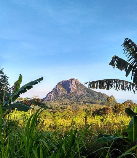 |
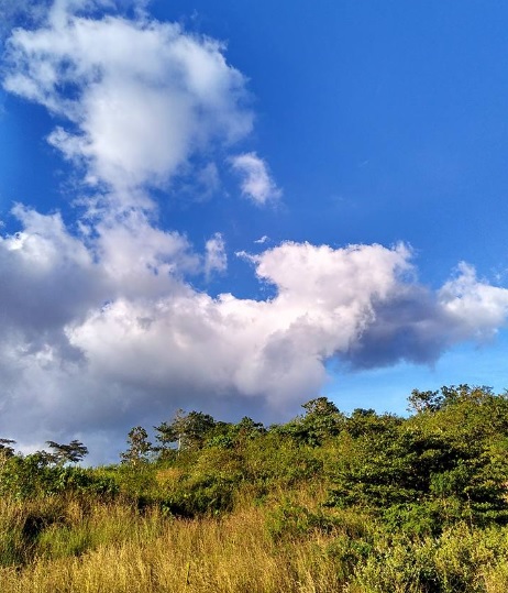
| Rocky Mountain of Fatuleu observed from Panini Protected Forest |
 |
| Panini Protected Forest |
 |
| Many people are using this place for taking a rest during weekend |
 |
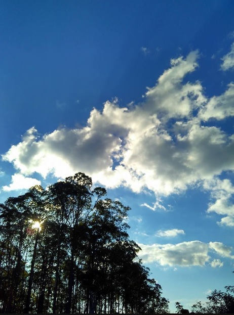
| Observing Clouds Formation |
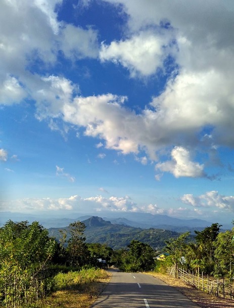 |
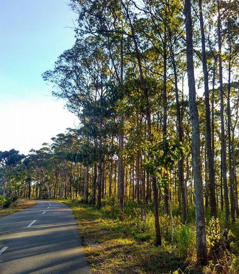
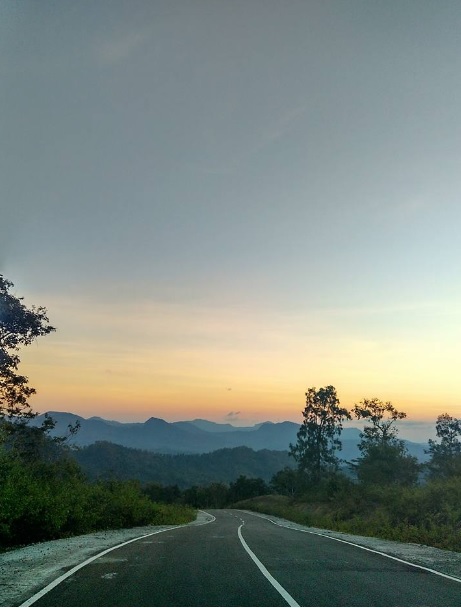
| Road to Passi |
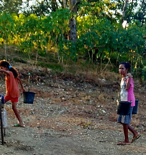 |
| Water is still main problem for local community along the road |
 |
| Waiting for Public Transportation |
 |
| On Going Bridge Development, Road to Nuknasi |
 |
| Beautiful Scenery Above Sea Level in The Middle Of Timor Island |
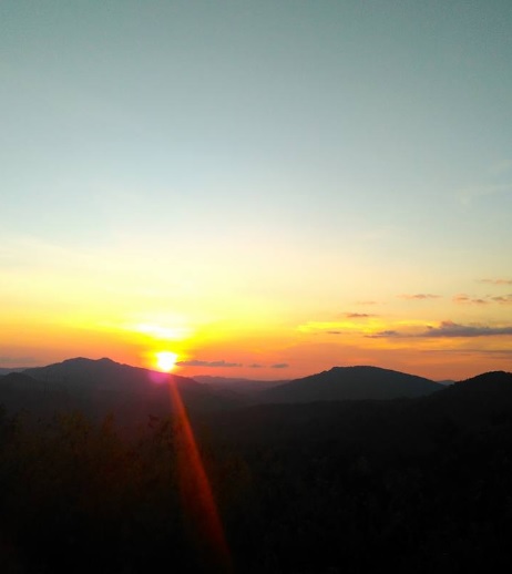 |
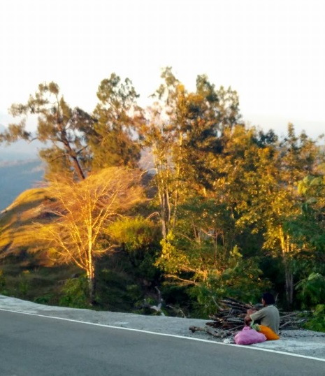
| Beautiful Sunset |
 |
| Nuknasi Rocky Mountain |
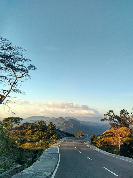 |
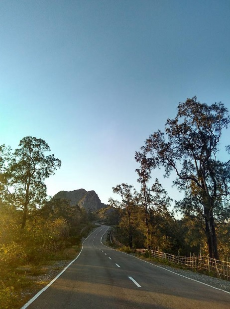
| The Beauty of The Island Shown along the road to Amfoang |
Masa pemerintahan Bupati Ayub Titu Eki telah membuka jalan poros tengah dari fatuleu Tengah-Amfoang Timur sehingga memberikan dampak positif terutama dalam hal mengatasi isolasi daerah-daerah yang ada serta melancarkan transportasi barang dan jasa serta memacu pertumbuhan ekonomi masyarakat diwilayah ini. Namun masalah air dan listrik masih menjadi persoalan bagi masyarakat sepanjang jalan megah hotmix menuju Negara Tetangga Timor Leste.
The reign of Regent Ayub Titu Eki has opened the middle axis road from Central Fatuleu to East Amfoang so it gave positive impact, especially in terms of overcoming isolation of existing areas and easily on delivering goods and services and spur the economic growth of the people in this region. But the issues on lack water and electricity is still becoming a problem for people along the magnificent road to neighboring Timor Leste.
Article and Photos by Ketut Rudi
Song: Damian "Jr. Gong" Marley - Welcome To Jamrock (Official Video)

No comments:
Post a Comment